
TERRA AUSTRALIS INCOGNITA
THE UNKNOWN SOUTHERN LAND
Price: 35.00 BGN
|
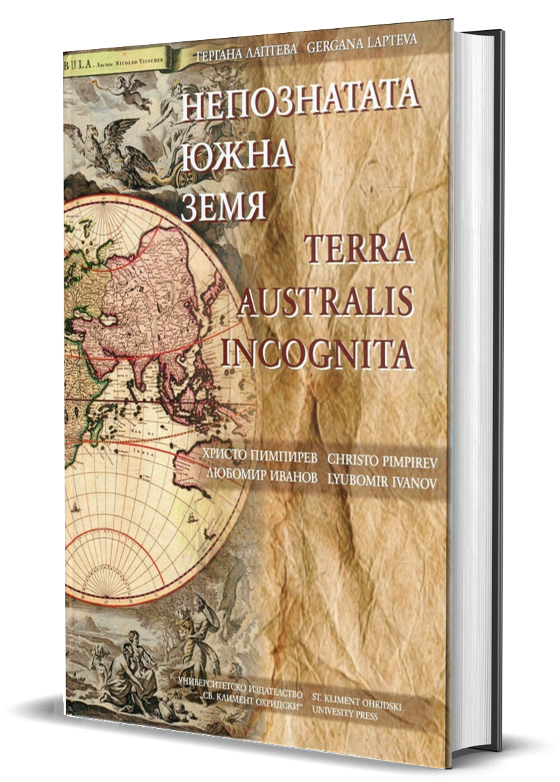
The almanac has the purpose to collect and make available most of the currently known maps describing Antarctica - from antiquity until today. It also shows modern maps of the Icy continent, including topographical, geological, satellite images, maps of the ice surface and under ice surface of the continent, maps of various research bases, etc. Of course, special attention is devoted to the Bulgarian contribution to the mapping of Antarctica. The maps are divided into several periods reflecting their historical development.
The aim of this work is to promote the importance of maps and Geo-information and cartography worldwide and the development of cartographic methods for visualization of the surrounding world corresponding to the needs of society in a global and regional context. By tracing the history of the last still virgin continent, least affected by human activity, an effort has been made to draw public attention to its preservation and future operation, which is a sort of appeal for the preservation of its unique flora and fauna |
|
Author: Gergana Lapteva
Consultants: Cristo Pimpirev, Lyubomir Ivanov ISBN: 9789540743295 Pages: 224, Year: 2017 Dimensions (WxH): 21.0x29.0 cm, Cover: Hardcover Language: Bulgarian and English |

read part of the book
|